Survey / Mapping / GIS
American provides professional mapping at a high level of service, with staff who have more than 25 years of industry experience.
Survey / Mapping
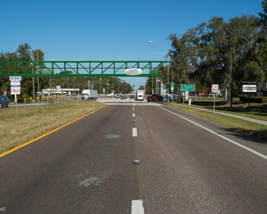
We coordinate all survey services for engineering projects, providing survey and mapping design on any size projects. During life of a project, our survey staff are traditionally the first guys in and last guys out. We take snapshots in the field and turn it into a digital model for designers to take it to the next level in a project cycle.
- Right-of-Way Mapping
- Preparation of Legal Descriptions
- Specific Purpose Surveys
- Wetland and Environmental Mapping
GIS
Another service we provide is survey and asset inventory mapping, which includes emergency service mapping. We have the ability to map a whole county in mobile mapping unit to use after catastrophic events, which we did after Hurricane Charlie in Charlotte County and Hurricanes Frances and Gene in Port St. Lucie.
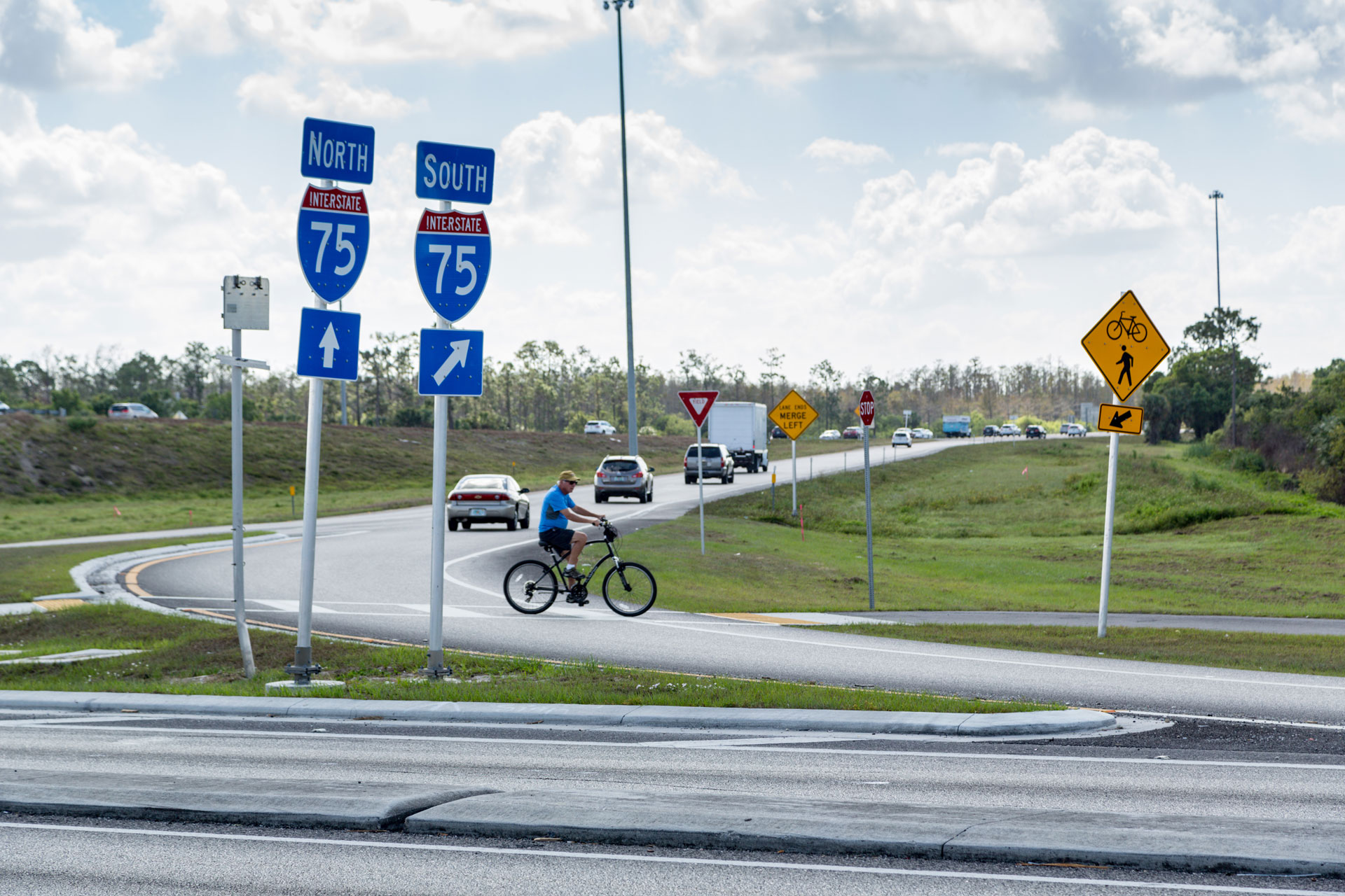
Through use of GIS we are able to inventory, replace and note deficiencies on any infrastructure element such as:
- Replace Signs and Signals
- Reposition Elements
- Replace Drainage
Unmanned Aerial Survey and Mapping
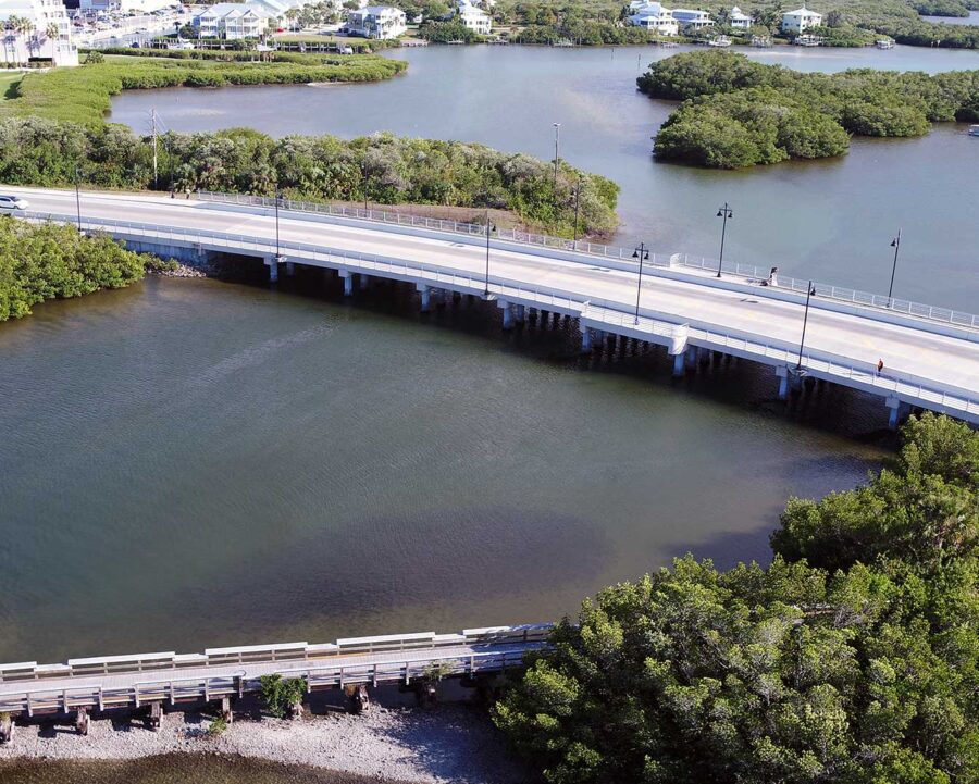
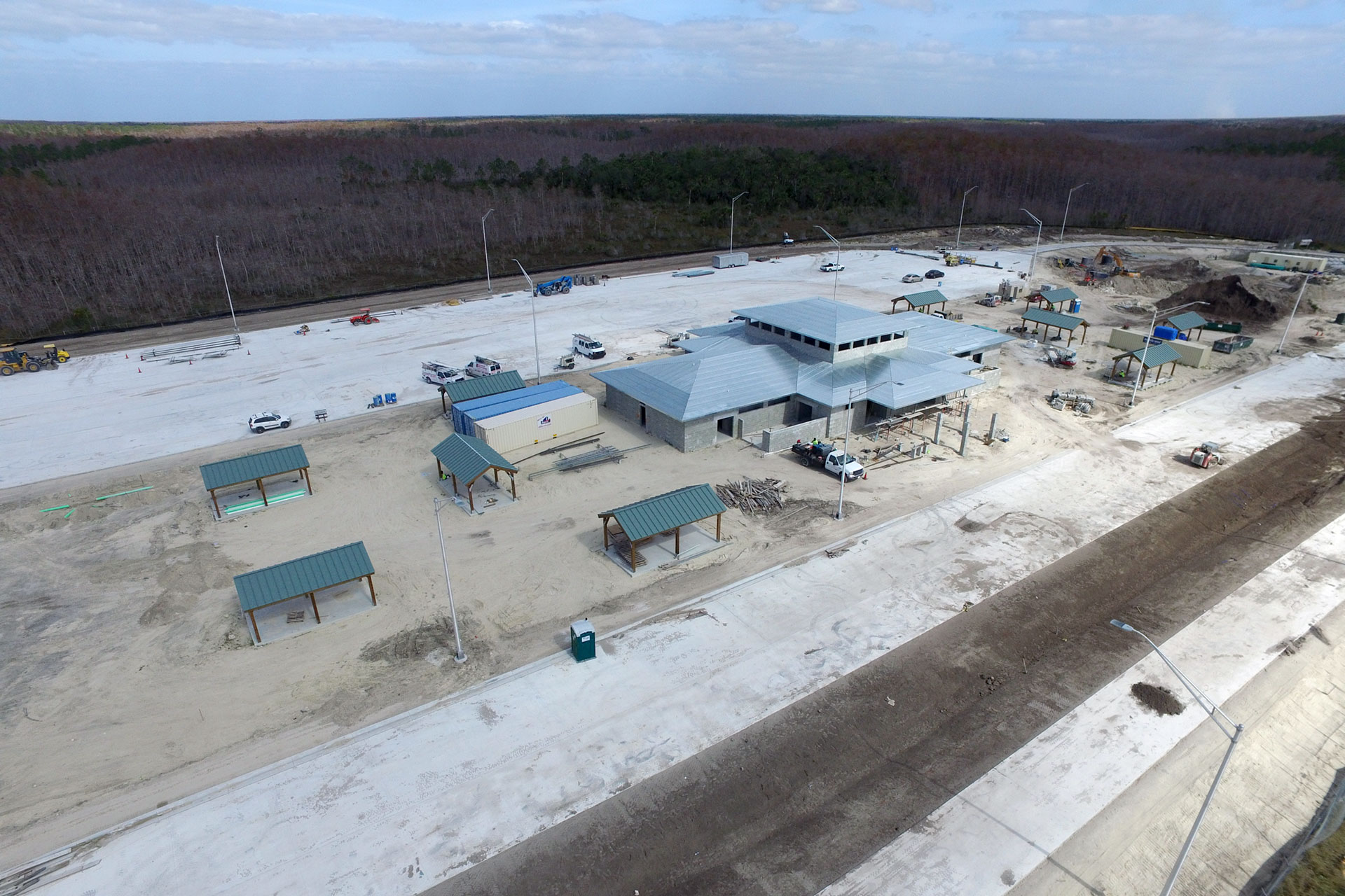
American has FAA certified Pilots under Part 107 for small unmanned aircraft, and is proud to offer the following services utilizing UAS (Drones) as a professional tool to collect data in a safe and efficient manner to help our clients achieve their needs. American understands the regulations required for UAS flight, and has a rigid Maintenance program and Pre- and Post- Flight checklists to assure public and job site safety.
- Topographic Survey & Mapping
- Construction Site Management
- Bridge and Roadway Inspection
- Asset Management/Inventory
- Quantity Measurement/Stockpile Monitoring
- Imagery
- Construction Quality Control
- Wetland Mapping
- Cell Tower Inspection

Unmanned Aerial Survey and Mapping
American has extensive experience with permitting and regulatory agencies. Experience has shown that environmental permitting can be one of the biggest challenges in timing for projects. Our staff of professionals understands this and takes a proactive approach to review the potential for these issues early in a schedule and has consistently received permits on, or ahead, of schedule. The nature of the services that we provide requires that we coordinate with regulatory and permitting agencies on a constant basis so it is vital that we are extremely familiar with this process.
- Topographic Survey & Mapping
- Construction Site Management
- Bridge and Roadway Inspection
- Asset Management/Inventory
- Quantity Measurement/Stockpile Monitoring
- Imagery
- Construction Quality Control
- Wetland Mapping
- Cell Tower Inspection
